our approach
NSRL – Bannockburn Aerial Survey
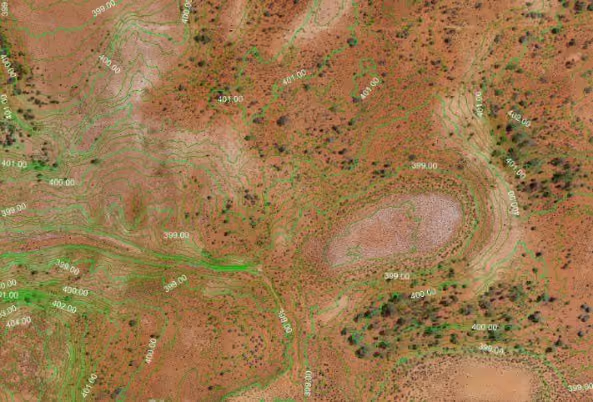
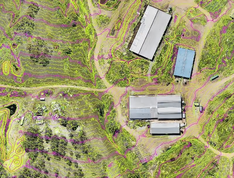
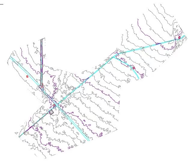
Aerial Survey to provide contours at bare earth and orthomosaics to assist borehole planning.
Project Overview
Survey expertise in practice.
Aerial Survey to provide contours at bare earth and orthomosaics to assist borehole planning.
DELIVERY
Our role on the project.
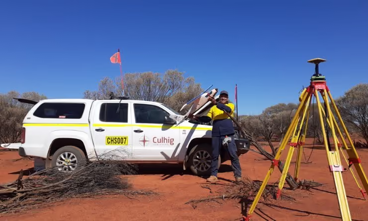
- Provide competent engineering surveyor/ RPAS Pilot and Flight Technician.
- Establish all ground control to be used for the duration of the aerial work.
- Post processing of captured photogrammetry.
- Provide borehole locations.
- Provide Client with bare earth contours and orthomosaics.
- Bare earth contours with vegetation stripped and features extracted.
OUTCOME
Delivery that makes a difference.
- Set over 160 ground control points and surveyed 23 boreholes.
- Carried out extended scope of work with more than 1,225 ha of photogrammetry and 34 km of corridor mapping completed in 13 days of fieldwork.
- The work was completed without incident.
No items found.