our service
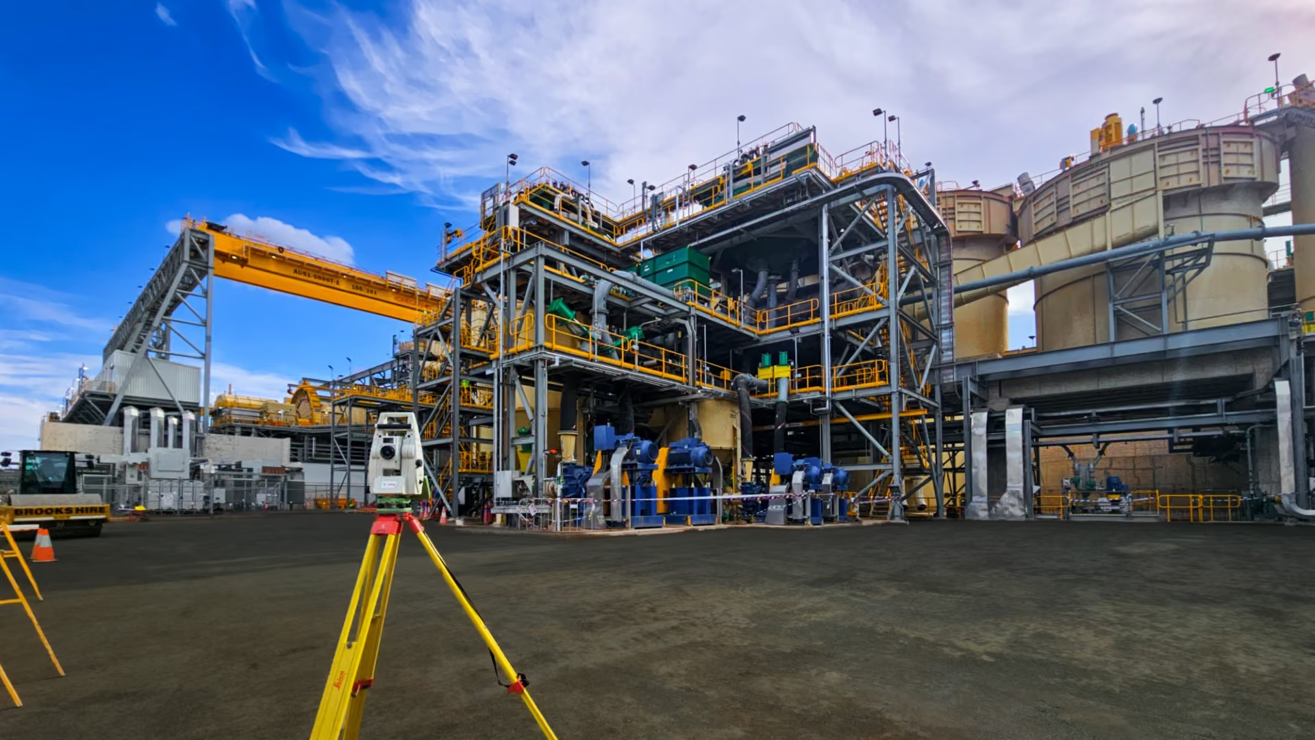
3D Laser Scanning & Reality Capture
Capture complex facilities as coordinated 3D datasets for design, expansion and asset management.
WHAT WE DO
See every detail. Build with confidence.
Capture complex facilities as coordinated 3D datasets for design, expansion and asset management.
How we can support you
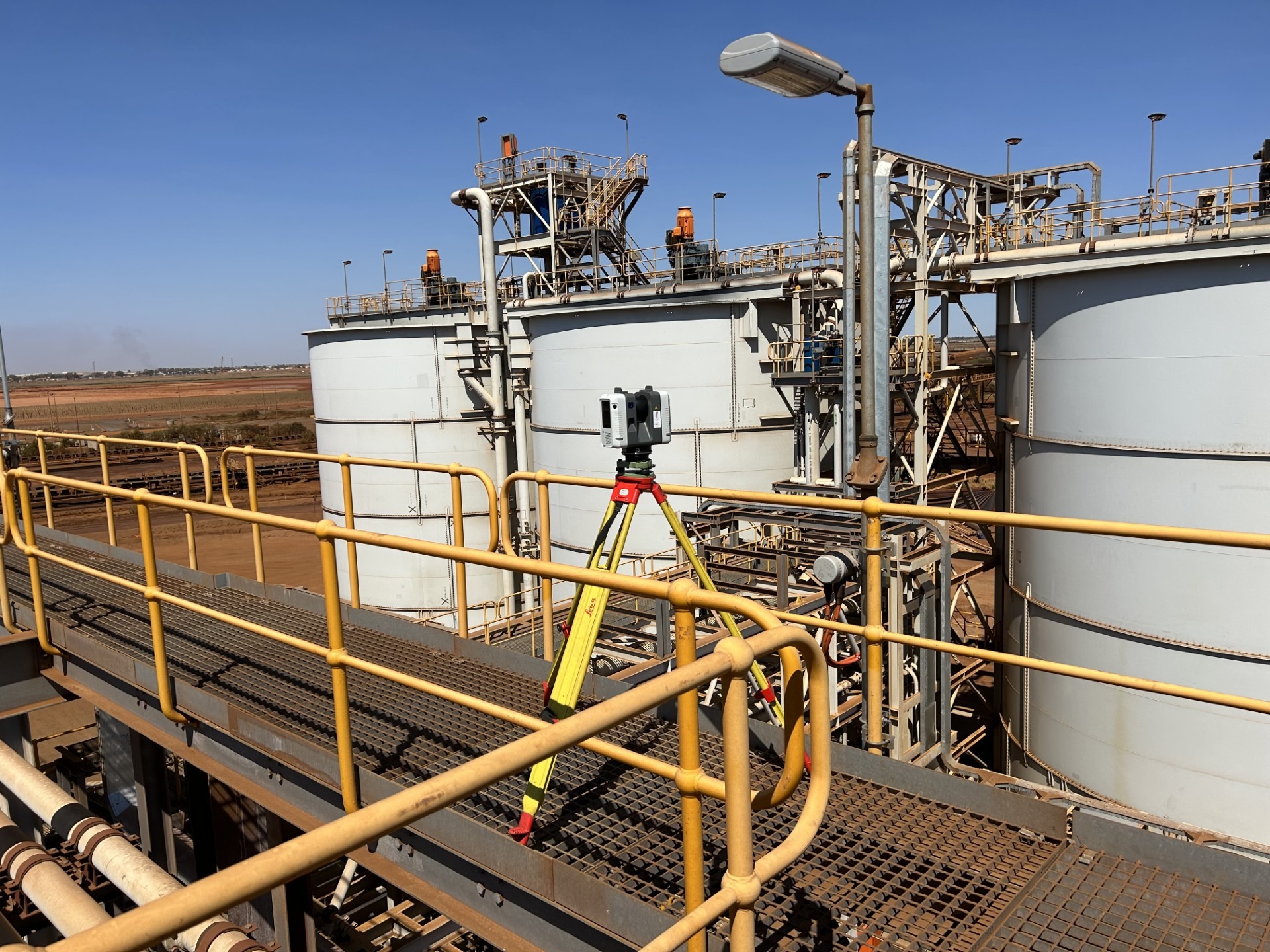
- Terrestrial laser scanning
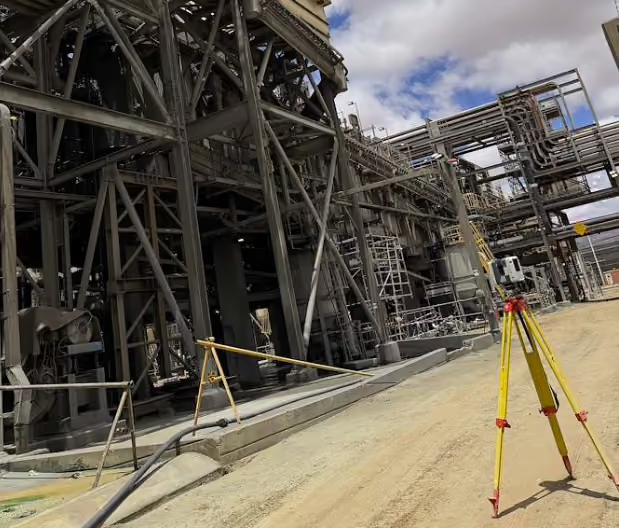
- Industrial plants, conveyors and infrastructure
- Structural steel, piping, tanks and vessels
- Scan-to-BIM and 3D modelling
- Shutdown and maintenance capture
Data you can work with.
Data you can work with.
We agree the survey scope, coordinate system, required tolerances and deliverable formats around your project requirements.
- Registered point clouds
- 3D models and BIM files
- 2D drawings and sections
- 360° imagery and asset datasets