our approach
CM Farms – Aerial and LiDAR Survey
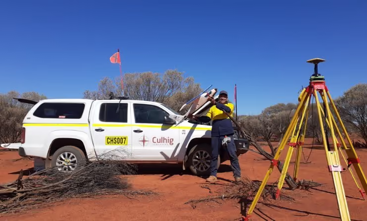
Culhig Surveying was engaged by CM Farms to deliver a high-resolution aerial imagery and LiDAR survey across key agricultural landholdings in Cunderdin, Western Australia.
Project Overview
Survey expertise in practice.
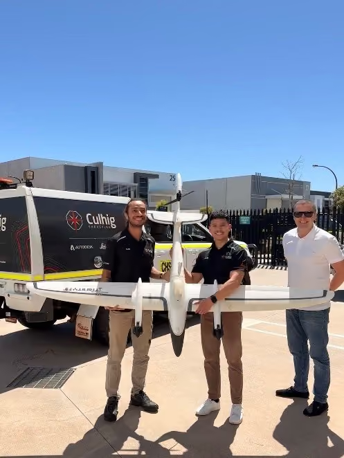
Culhig Surveying was engaged by CM Farms to deliver a high-resolution aerial imagery and LiDAR survey across key agricultural landholdings in Cunderdin, Western Australia. This project marks our first use of our advanced aerial LiDAR system in an agricultural setting.
DELIVERY
Our role on the project.
- Undertook a full aerial High-Resolution Imagery and LiDAR capture over CM Farms in Cunderdin, WA.
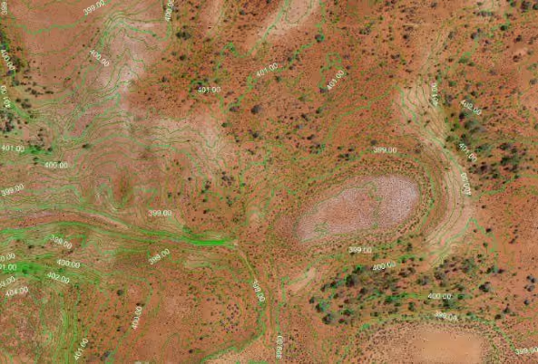
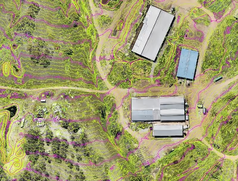
- Processed and delivered a detailed bare-earth model, including vegetation removal and ground classification.
- Supplied high-resolution ECW orthomosaic imagery and elevation datasets suitable for engineering, planning, and environmental analysis.
OUTCOME
Delivery that makes a difference.
- First agricultural deployment of Culhig Surveying’s aerial and LiDAR.
- Vertical accuracy of 30 mm (RMSE 0.014m, 95% confidence), offering near-ground-survey precision across extensive farmland.
- Future-ready dataset that can be used for ongoing farm modelling, productivity improvements, and long-term land management.
No items found.