UAV & aerial mapping
LiDAR and photogrammetry provide imagery and terrain information for wide areas and remote sites.
LiDAR and photogrammetry provide imagery and terrain information for wide areas and remote sites.
Capture complex facilities as registered point clouds for engineering, modelling and asset documentation.
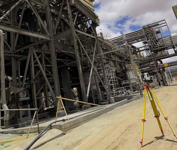
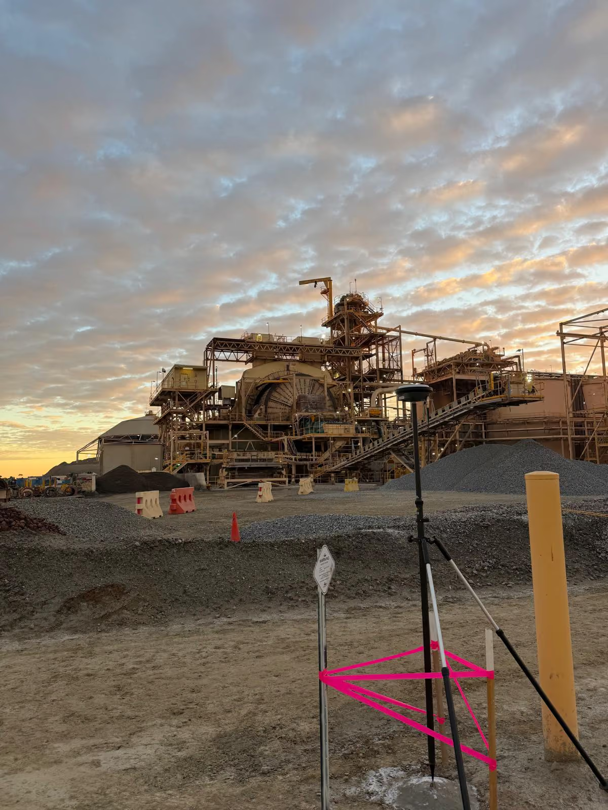
GNSS, total stations and precise levelling connect field observations to a consistent project framework.