our service
Survey Control Networks
A consistent spatial foundation for every stage of work.
WHAT WE DO
A consistent spatial foundation for every stage of work.
We agree the scope, coordinate system, tolerances and reporting formats around your project requirements.
How we can support you
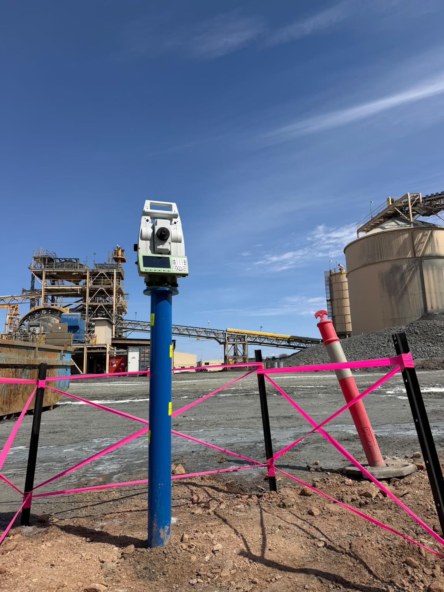
- Review and verification of existing control
- GNSS observations and baseline establishment
- Traverse surveys and network adjustment
- Precise levelling and permanent benchmarks
- Site coordinate frameworks and final control documentation
Data you can work with.
Data you can work with.
We agree the scope, coordinate system, tolerances and reporting formats around your project requirements.