our approach
EDL – SRD Aerial Survey
EDL is looking at developing a hybrid energy system for one of their existing power stations.
Project Overview
Survey expertise in practice.
EDL is looking at developing a hybrid energy system for one of their existing power stations.
DELIVERY
Our role on the project.
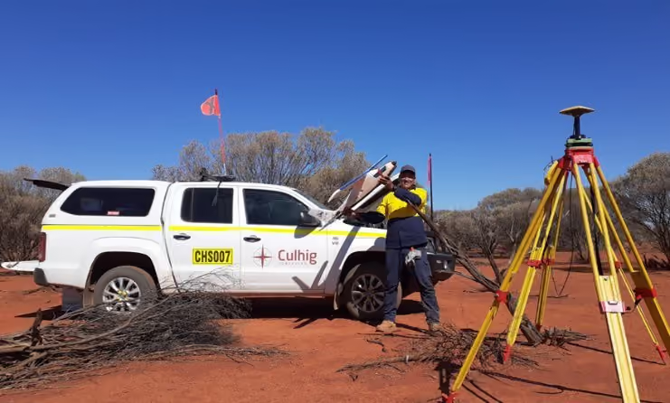
- Provide competent engineering surveyor/ RPAS Pilot and Flight Technician.
- Establish all ground control to be used for the duration of the aerial work and subsequent verification.
- Complete Aerial Survey of 2 prospective Wind Farm locations, 1 Solar Array location and corridors for HV electrical cabling back to the power station.
- Remove all vegetation and provide client with bare earth terrain models.
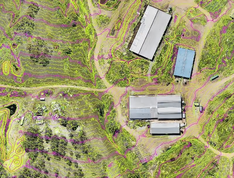
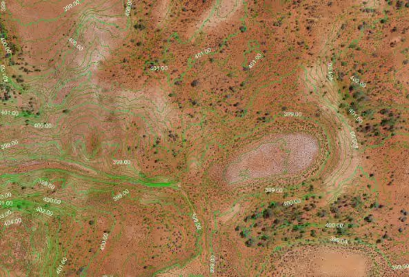
- Provided contours, digital elevation models, Orthomosaic and various drafted plans.
- Conducted basic cut to fill analysis for solar farm location within the larger solar farm AOI.
- Contour and Orthomosaic.
- Contour and Digital Elevation Model.
OUTCOME
Delivery that makes a difference.
- The work was completed without incident and within estimated budget.
- Deliverables were produced within 4 days of data capture completion.
- Captured and processed 6,750 images.


No items found.