our approach
Bellevue Gold – Aerial and LiDAR
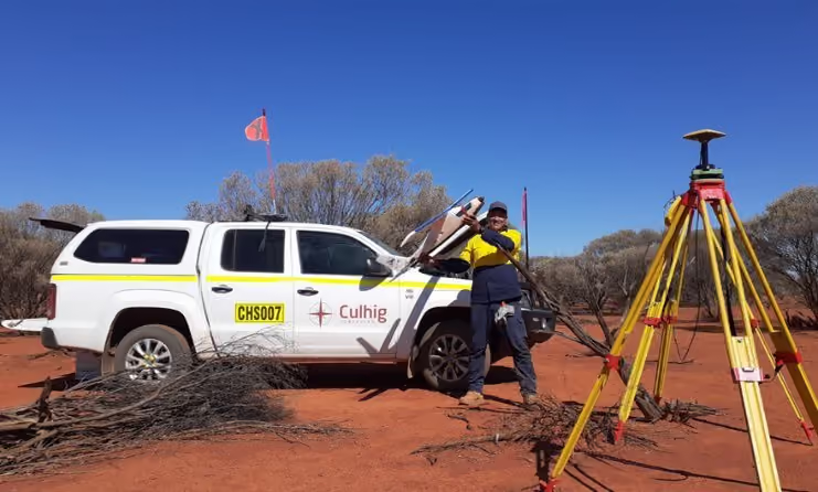
This project involves conducting a comprehensive aerial imagery and LiDAR drone survey over a 106-square-kilometre area for Bellevue Gold.
Project Overview
Survey expertise in practice.
This project involves conducting a comprehensive aerial imagery and LiDAR drone survey over a 106-square-kilometre area for Bellevue Gold. The objective is to provide high-resolution geospatial data to support heritage analysis, development and operational business planning.
DELIVERY
Our role on the project.
- Capture high-resolution aerial imagery.
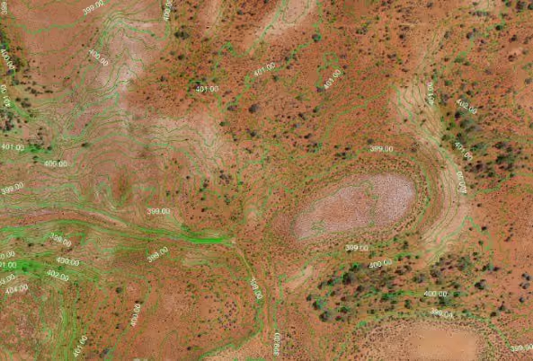
- Generate detailed LiDAR data to create accurate digital elevation models.
- Deliver precise geospatial information to aid heritage and mining development planning.
OUTCOME
Delivery that makes a difference.
“Excellent results and remarkably agile in adapting to changing conditions. Highly accessible and a pleasure to work with. Cheers”
Paul (Red) Adair · Heritage & Community Superintendent · Bellevue Gold
- Achieved rapid on-site flights, completing the entire survey (17 LiDAR and 21 photogrammetry flights) in just 9 days, showcasing our operational efficiency and expertise in large-scale drone deployments.
- Captured and processed 17,778 high-resolution aerial images for photogrammetry and a total of 5 terabytes of field data.
- Generally, LiDAR processing takes months. However, we demonstrated exceptional data processing capabilities by completing the analysis and delivery of survey results in just 12 days, ensuring timely insights for our client.
- Provided Bellevue Gold with high-resolution imagery and detailed LiDAR data, supporting their heritage and mining development and operational planning with precise and actionable information.

No items found.