our approach
Corazon – Chalice Gold – Aerial and LiDAR
Culhig Surveying was engaged by Corazon Mining to undertake a comprehensive aerial photogrammetry and LiDAR survey at the Chalice Gold Mine.
Project Overview
Survey expertise in practice.
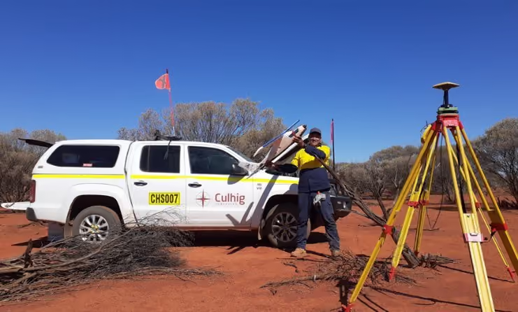
Culhig Surveying was engaged by Corazon Mining to undertake a comprehensive aerial photogrammetry and LiDAR survey at the Chalice Gold Mine. Utilising the Trinity F90+ fixed-wing UAV platform, the survey combined high-resolution aerial imagery and LiDAR data capture to produce an accurate and detailed representation of the site and surrounding terrain. The resulting high-resolution geospatial dataset provides Corazon Mining with a reliable baseline for ongoing mine planning, design, analysis and future site development.
DELIVERY
Our role on the project.
- Establish survey control across the site from Landgate Standard Survey Marks (SSMs).
- Install and survey Ground Control Points (GCPs) to support aerial data capture and provide independent quality assurance.
- Capture high-resolution aerial imagery and LiDAR data across the project area using the Trinity F90+ UAV.
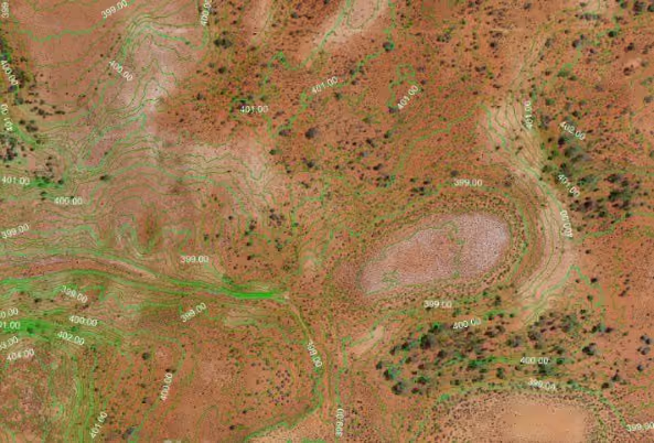
- Prepare comprehensive survey deliverables, including 200 mm bare-earth contours, orthomosaic imagery, a Digital Elevation Model (DEM) and densified point cloud.
OUTCOME
Delivery that makes a difference.
- Established a robust survey control network tied to Landgate SSMs, providing a reliable spatial foundation for the aerial survey and future survey activities at the site.
- Combined LiDAR and photogrammetric technologies to accurately capture both terrain information and high-resolution site imagery, providing complementary datasets for mine planning, engineering and spatial analysis.
- Delivered a versatile suite of geospatial products including DWG/DXF contours, high-resolution TIFF orthomosaics, CAD-ready ECW imagery, a TIFF Digital Elevation Model and LAS densified point cloud, enabling the data to be readily incorporated into Corazon Mining's existing workflows.

No items found.