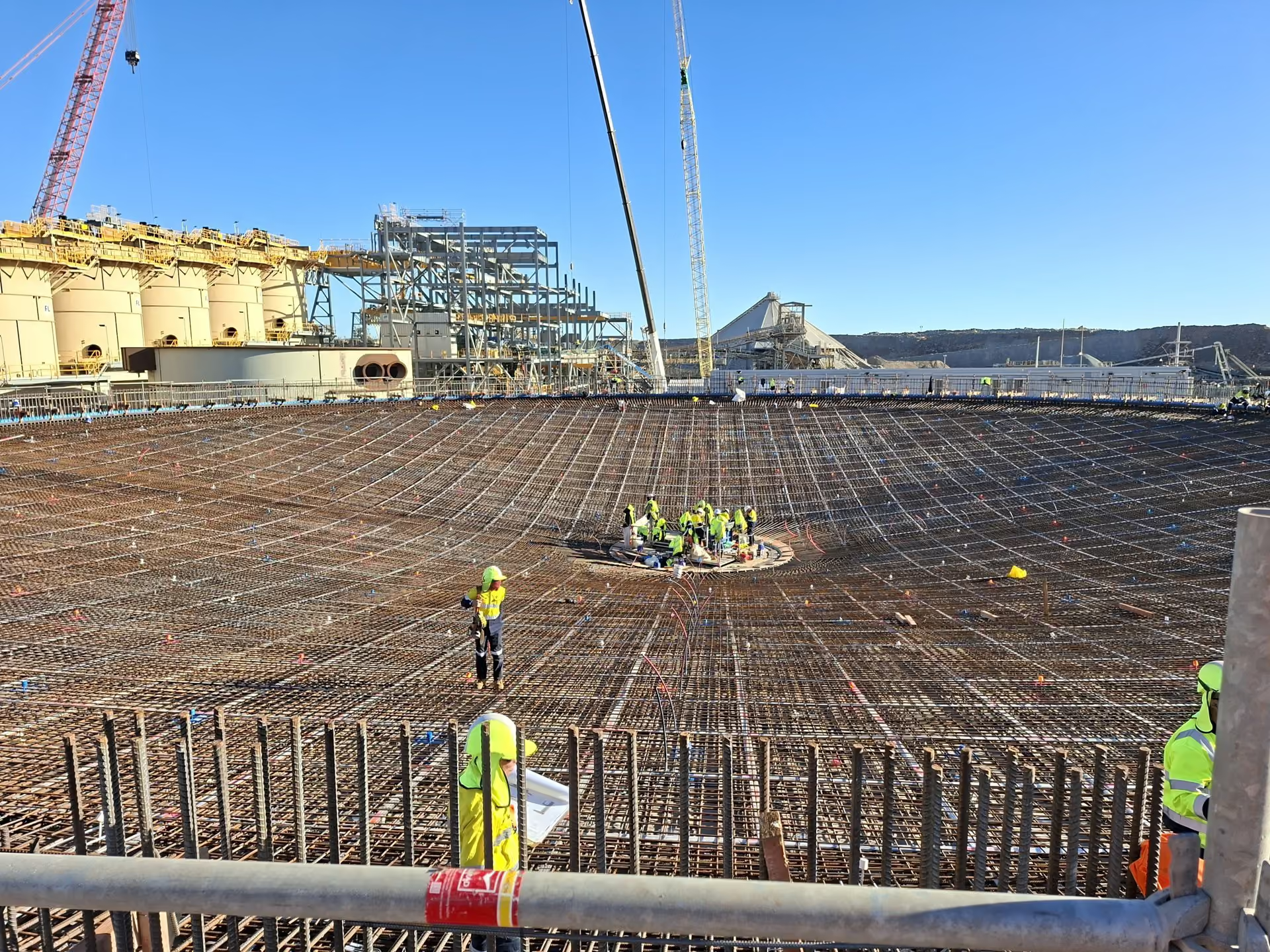
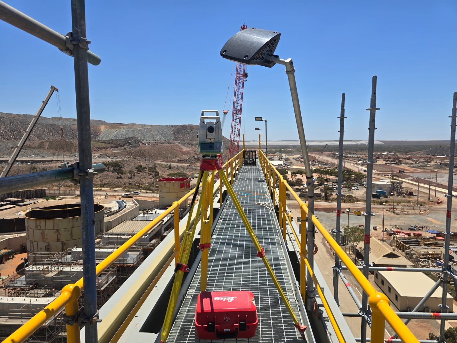
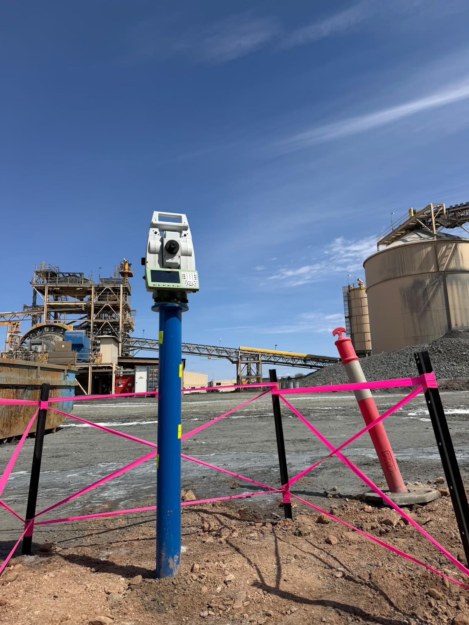
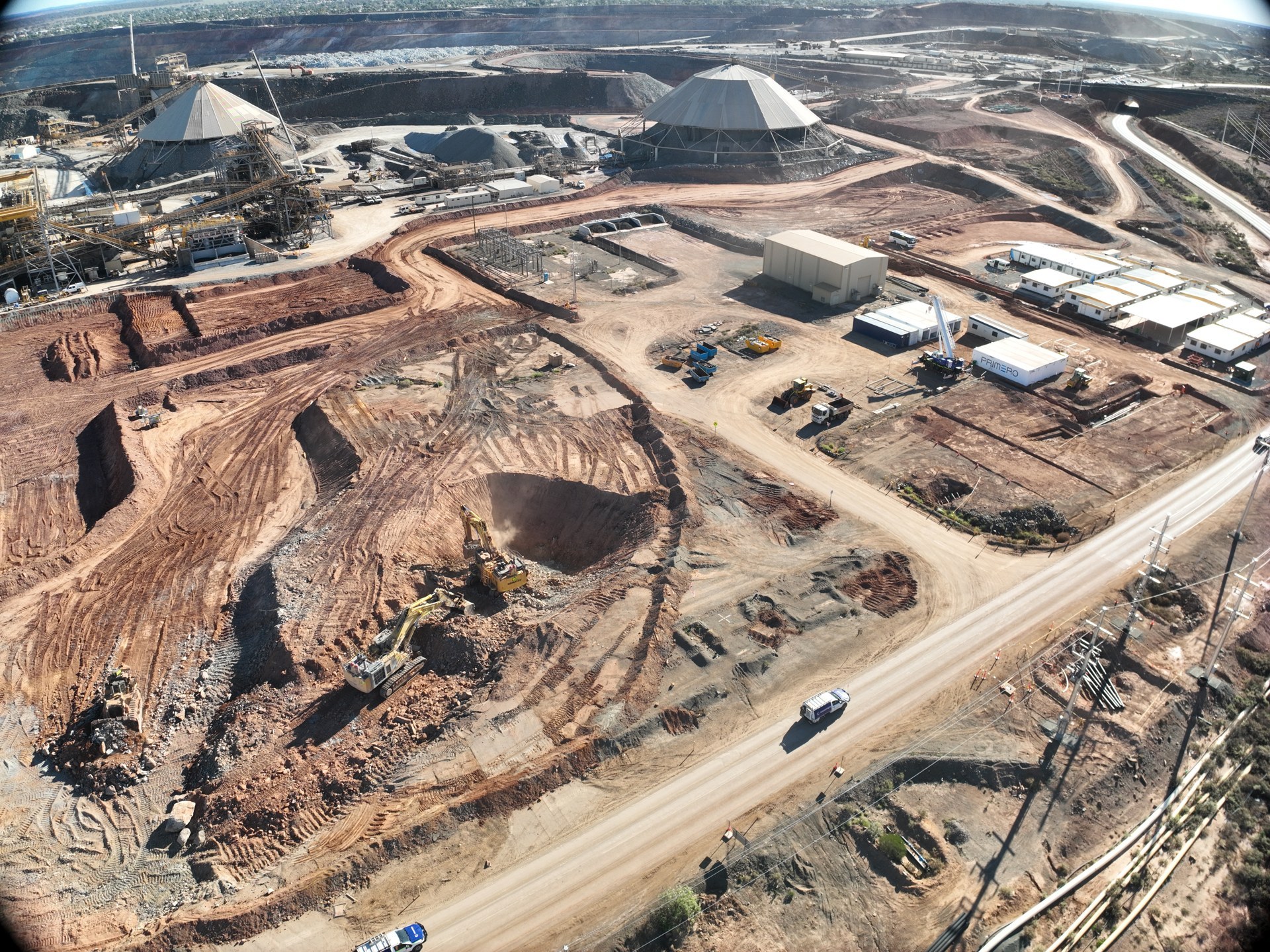
Set-out, earthworks, civil concrete and construction verification.
Explore service
Survey support through development, operations and closure.
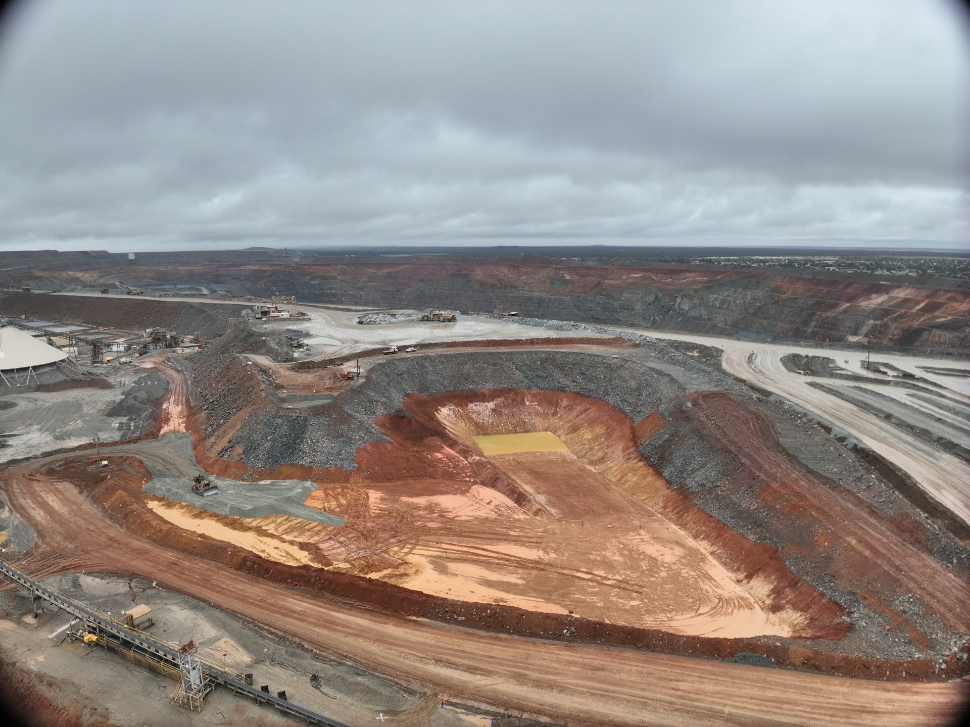
LiDAR, photogrammetry, terrain mapping and volumes.
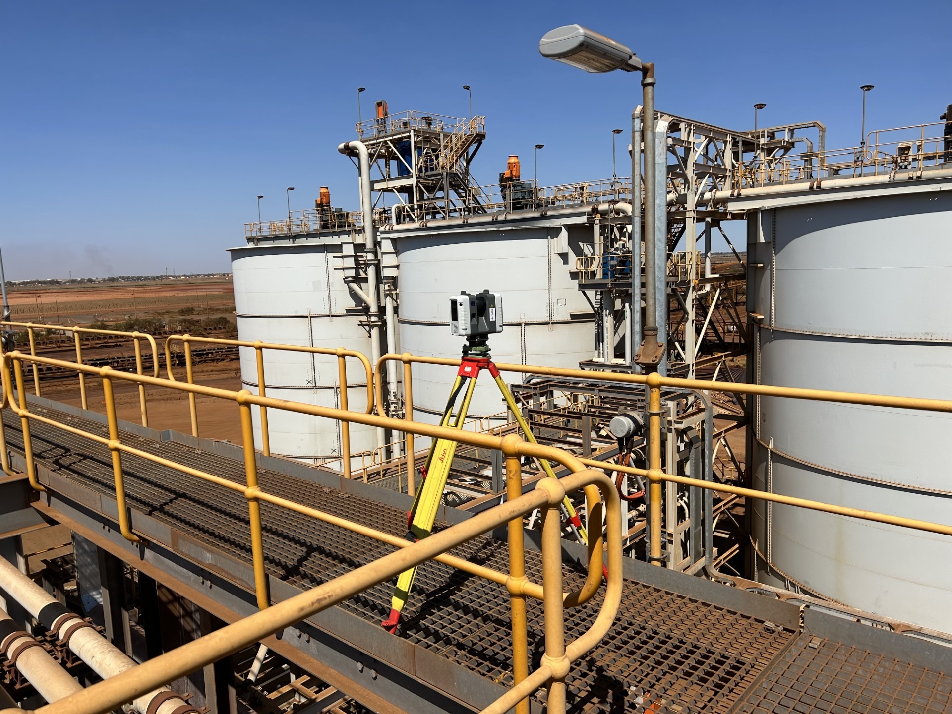
Coordinated point clouds for design and asset documentation.
Alignment, positioning and installation checks.
The reliable spatial foundation for your project.
Repeatable observations to measure structural change.
Checked records of completed works and assets.